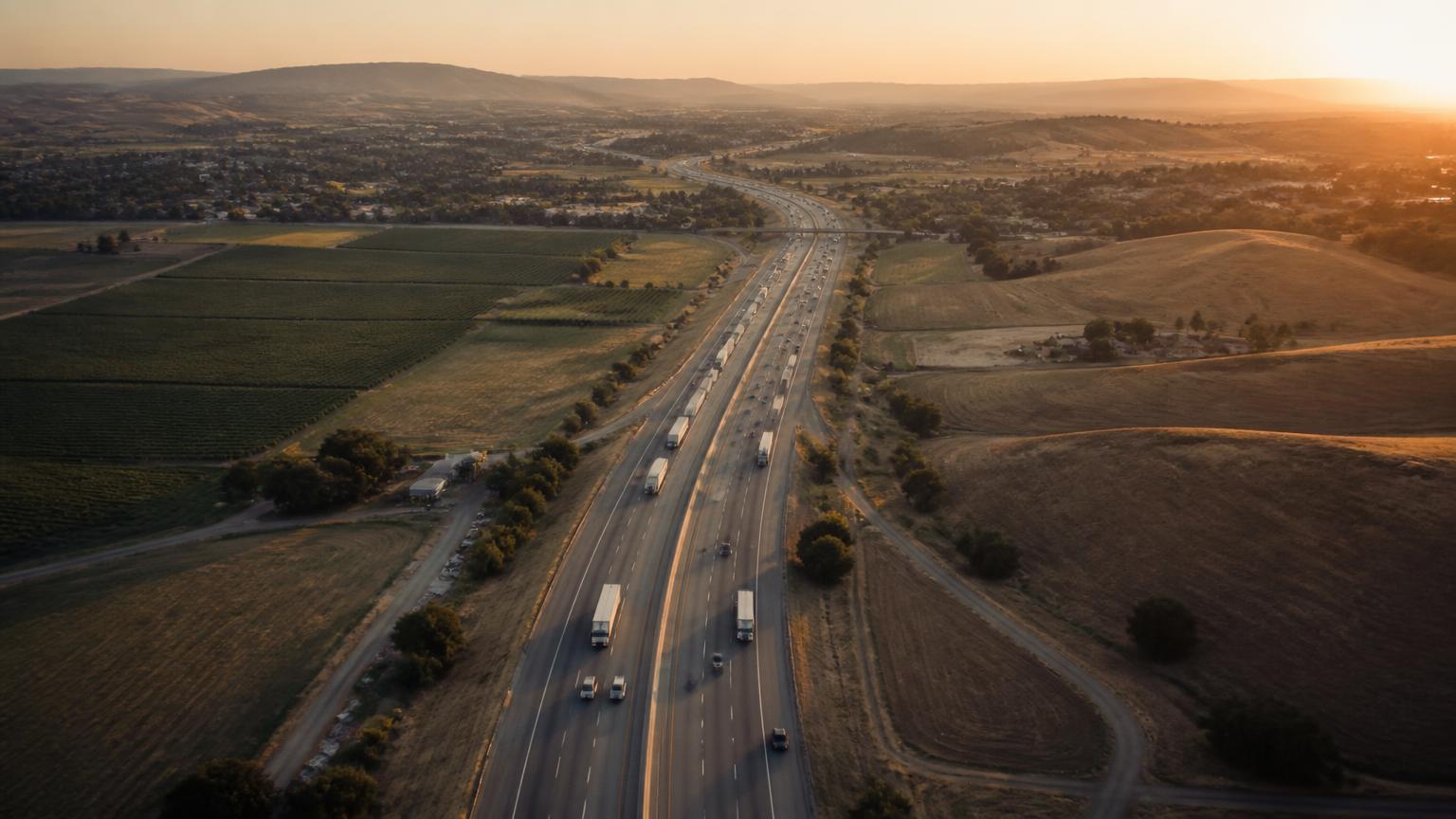
Expansion corridors
Corridors first. Sites second.
Sentinel plans by corridor rather than by pin. The strategy is to close gaps along real travel routes, with roughly 200 miles as a maximum spacing goal between hubs.
Spacing goal
Approximately 200 miles maximum between hubs
That is a planning target, not a rule. Actual spacing tightens where traffic, terrain, heat, charging gaps, or family travel patterns justify it, and stretches where land or utility capacity does not exist.
Gap closing
Identify stretches where drivers currently have no comfortable, accessible, multi-network option.
Cluster then connect
Prove the prototype in one metro cluster, then extend outward along the corridors that cluster already feeds.
Partner-led siting
Advance the corridors where a city, utility, landowner, or network partner is ready to move first.
Corridor map
Nine planning geographies
Study areas under evaluation. None represents a secured, approved, or committed site.
Corridor 01
Greater Sacramento pilot cluster
The first study cluster, chosen for growth, family demographics, corridor convergence, and active regional interest in charging access.
- West Roseville
- Rancho Cordova
- West Sacramento
- Sacramento Railyards
Corridor 02
Northern California & Bay Area gateways
Gateway positions where regional commuting, weekend travel, and interstate trips converge on the same interchanges.
- Bay Area gateway interchanges
- Sacramento–Bay travel spine
- Regional recreation routes
Corridor 03
I-5 corridor
The primary north–south freight and travel spine, where long stretches still lack dense multi-network charging with real amenities.
- Northern I-5
- Central Valley I-5
- Southern I-5 approaches
Corridor 04
Highway 99 corridor
A community-heavy corridor serving Central Valley cities where accessible family amenities are especially underserved.
- North Valley 99
- Central Valley 99
- South Valley 99
Corridor 05
US-101 corridor
Coastal and near-coastal travel where tourism, agriculture, and commuting share the same route.
- North Coast 101
- Central Coast 101
- South 101 approaches
Corridor 06
Southern California
High-density metro edges and desert gateway positions serving both local charging deserts and interstate travel.
- Inland gateways
- Metro edge nodes
- Desert corridor stops
Corridor 07
Nevada
Interstate and resort travel corridors with long spacing between quality stops and strong family travel volume.
- I-15 corridor
- I-80 corridor
- Resort approach routes
Corridor 08
Arizona
Heat-intensive corridors where shade, misting, and indoor cool space are safety features rather than luxuries.
- I-10 corridor
- I-17 corridor
- Metro gateway nodes
Corridor 09
Texas
Long inter-metro distances and rapid population growth make destination-scale stops especially relevant.
- I-35 corridor
- I-10 corridor
- Metro triangle connections
Site selection
What actually decides a location
Corridor strategy sets the search area. These factors decide whether a specific parcel becomes a hub.
- Traffic volume, trip purpose, and seasonal patterns
- Existing charging gaps and reliability of nearby stations
- Utility capacity, feeder availability, and make-ready timelines
- Land availability, parcel geometry, and access
- Safety conditions and separation from high-speed movements
- Local and regional demand, including family and fleet travel
- Municipal, utility, network, and tenant partnerships
- Entitlement complexity and environmental considerations
Corridors, spacing goals, and named study areas are planning intent only. Sentinel Mobility Hub does not claim site control, entitlements, utility commitments, or approvals in any jurisdiction, and site selection may change materially as feasibility work proceeds.
Next step
Have a corridor or a parcel in mind?
Cities, landowners, and developers frequently know the right site before we do. We would like to hear about it.